A common mistake we see in Chesapeake is assuming uniform soil conditions across the city. Builders often rely on a single boring log and call it done. But the ground beneath the Great Dismal Swamp and the higher ground near the Elizabeth River can behave very differently during an earthquake. An HVSR microtremor survey catches that variability. It measures the natural resonance frequency of the soil column using ambient vibration. We pair this with a MASW Vs30 survey to define the shear wave velocity profile, and with seismic refraction tomography for deeper stratigraphic boundaries. This combination avoids the blind spots that single-method investigations leave behind.
An HVSR microtremor survey identifies the natural resonance frequency of the soil column, a critical input for seismic design in the Atlantic Coastal Plain.
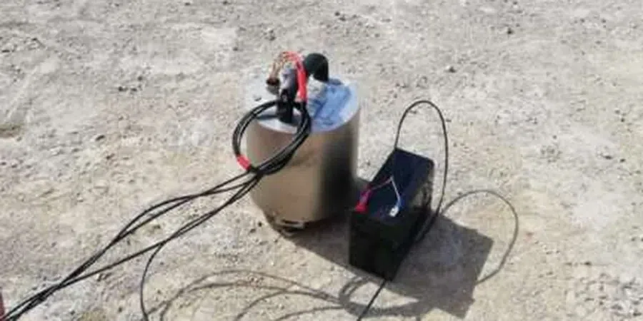
Approach and scope
Site-specific factors
Chesapeake has a population of over 250,000 and lies within the seismic zone of the Eastern United States. The last notable earthquake felt in the area was the 2011 Mineral, Virginia event (M5.8), which caused minor damage but reminded engineers that soft coastal soils amplify long-period ground motion. If the resonant frequency of a building matches the soil's natural frequency, the structure can suffer disproportionate damage. An HVSR microtremor survey identifies that risk before design begins. Without it, the foundation may be tuned to the wrong frequency, leading to costly retrofits later.
Service video
Relevant standards
ASCE 7-22 (Seismic Load Provisions, Site Class Determination), IBC 2021 (Chapter 16 – Seismic Design Requirements), SESAME Project Guidelines (Site Effects Assessment Using Ambient Excitations)
Related technical services
Single-Station HVSR Survey
A rapid reconnaissance survey using one seismometer. Ideal for preliminary site screening or small residential projects. We record ambient vibration for 30 minutes and provide the resonance frequency curve plus site class estimate.
Multi-Station Array Survey
Multiple stations deployed in an array to capture spatial variability. This is the standard for commercial and municipal projects in Chesapeake. We deliver a contour map of resonance frequencies across the site.
HVSR + MASW Combined Survey
The most comprehensive option. We integrate HVSR data with a MASW (Multichannel Analysis of Surface Waves) survey to obtain a solid Vs30 profile and 1D shear wave velocity model. This meets ASCE 7 requirements for site class D and E.
Typical parameters
FAQ
How much does an HVSR microtremor survey cost in Chesapeake?
The typical cost ranges between US$1,550 and US$2,660 for a standard single-station survey with basic reporting. Multi-station arrays and combined HVSR+MASW surveys run higher due to additional equipment and processing time. We provide a fixed-price quote after reviewing your site size and project requirements.
What is the difference between HVSR and a standard seismic refraction survey?
Seismic refraction uses an active source (hammer or weight drop) to measure P-wave velocities through deeper layers. HVSR uses ambient noise to measure the soil's natural resonance frequency. They answer different questions: refraction gives layer geometry, while HVSR gives dynamic site response. For seismic design in Chesapeake, we often recommend both to build a complete model.
Do I need an HVSR survey for a small residential project in Chesapeake?
It depends on the building height and the soil conditions. For a single-story house on a slab, the IBC may not require it. But if you are building a two-story structure or a house with a basement in an area known for soft soils (near the Dismal Swamp or along the river), an HVSR survey is a low-cost way to rule out resonance issues.