Chesapeake sits on the Atlantic Coastal Plain, where the water table often sits less than 2 meters below the surface across much of the 350 square miles of the city. That shallow groundwater, combined with the thick deposits of clay and sand left by the ancient Suffolk Scarp, makes subsurface behavior notoriously hard to predict without real-time data. We design and install geotechnical instrumentation arrays that track pore pressure, lateral movement, and total settlement during construction. Before placing any sensor, we run a georradar GPR survey to map buried utilities and avoid interference with existing infrastructure. The goal is simple: give the project team numbers they can trust to make decisions on the fly.
Chesapeake's shallow water table and soft coastal clays demand real-time pore pressure and settlement monitoring to avoid unexpected damage during construction.
Approach and scope
Site-specific factors
The difference between wet and dry seasons in Chesapeake can shift the water table by almost 1.5 meters, which directly affects effective stress and slope stability. During hurricane season, heavy rainfall saturates the already permeable sands and reduces shear strength in cuts and embankments. If you are excavating near the Elizabeth River or one of the many creeks that feed into it, the risk of a sudden slope failure or bottom heave is real. We have seen projects where ignoring pore pressure buildup led to a 3-meter-deep slide that cost weeks of delay. Installing a row of vibrating-wire piezometers and an inclinometer before the wet season gives you the data to adjust dewatering rates or install temporary shoring before movement starts.
Relevant standards
ASTM D6230 (Inclinometer casing installation and monitoring), ASTM D4750 (Piezometer installation in boreholes), ASCE/SEI 37 (Design loads on structures during construction), IBC 2021 Chapter 18 (Soils and foundations, monitoring requirements)
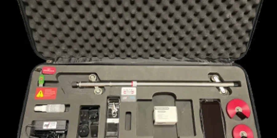
Related technical services
Pore Pressure Monitoring Systems
Vibrating-wire and pneumatic piezometers installed in boreholes or pushed directly into soft soils. Data loggers record hourly readings and trigger alerts if pore pressure exceeds a pre-set threshold. We cover all of Chesapeake, from Great Bridge to Deep Creek.
Inclinometer and Shape-Aray Systems
Vertical and horizontal inclinometer casings installed in boreholes or embedded in fills. We use standard 70 mm ABS casing and take baseline readings before any load is applied. For high-risk slopes, shape-array accelerometers provide continuous 3D profiles.
Settlement and Heave Monitoring
Settlement plates, extensometers, and liquid-level systems installed at the subgrade and at each lift of fill. Automated total stations or manual survey checkpoints give vertical movement to sub-millimeter precision. Data is uploaded to a secure portal within 24 hours.
Typical parameters
FAQ
What types of sensors are most common for deep excavations in Chesapeake?
For deep excavations in the soft clays and sands of Chesapeake, we typically use vibrating-wire piezometers to track pore pressure, in-place inclinometers to detect lateral wall movement, and settlement plates for vertical heave or consolidation. The array is customized based on excavation depth, soil stratigraphy, and proximity to structures like the Chesapeake Expressway or local floodwalls.
How long does it take to install a full instrumentation system?
A standard array of 6 piezometers, 4 inclinometer casings, and 8 settlement plates can be installed in 3 to 5 days, depending on site access and weather. We coordinate with the general contractor to avoid delays. Drilling through the dense sand layers near the Suffolk Scarp adds a few hours per borehole, but we plan for it.
Do you provide remote data access and automated alerts?
Yes, every system we install in Chesapeake includes a cellular or Wi-Fi data logger that uploads readings every 15 minutes to a cloud dashboard. The project engineer can set custom alarms for pore pressure thresholds or lateral movement limits. We also provide weekly summary reports with trend analysis.
What is the typical cost range for a geotechnical instrumentation program in Chesapeake?
For a typical mid-size project in Chesapeake, a complete instrumentation package including sensors, installation, data logging, and 3 months of monitoring falls between US$2,260 and US$4,230. The final price depends on the number of sensors, depth of boreholes, and whether you need real-time telemetry or manual readings.