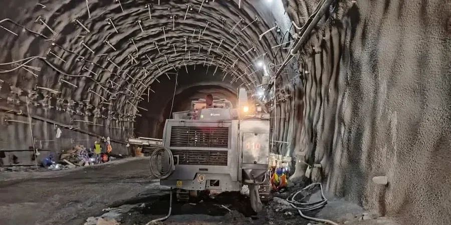
Coastal plain geology dominates Chesapeake, with deep deposits of silty sands, clays, and occasional peat layers that shift under load. The shallow water table—often within 3 to 6 feet of the surface—turns open cuts into dewatering challenges. That is why geotechnical excavation monitoring here starts before the first bucket hits the ground. We install inclinometers, piezometers, and settlement markers to record baseline conditions. This data feeds directly into the excavation sequence, letting us compare each stage against the design model. For deep cuts near existing structures, we complement the monitoring with MASW-Vs30 to map stiffness contrasts, and with piezometer readings to track pore pressure dissipation in real time.
In Chesapeake, the shallow water table means pore pressure spikes can happen in hours. Real-time monitoring catches that shift before the excavation sees it.
Approach and scope
- Lateral wall deflection (read every 2 ft of depth)
- Ground surface settlement at 25 ft grid spacing
- Water level fluctuations inside and outside the cut
- Load on temporary tiebacks and struts
Site-specific factors
In Chesapeake, we often see excavation walls hold up fine for the first 10 feet but then start creeping inward when the cut reaches the saturated zone. That transition is where undrained shear strength drops and pore pressure spikes. If the monitoring system only records once a day, the movement can double before anyone notices. That is why we set up continuous data streams with automated alerts. The biggest risk is not the soil itself—it is the delay between movement and detection. A properly instrumented cut lets the crew act on numbers, not guesses.
Relevant standards
ASTM D6230 (inclinometer testing), ASTM D5920 (piezometer installation), IBC 2018 (excavation shoring requirements), ASCE 7-16 (load combinations for temporary structures)
Related technical services
Real-time Inclinometer and Piezometer Monitoring
Continuous reading of wall deflection and water pressure using vibrating-wire sensors. Data is transmitted to a secure portal every 15 minutes. Alerts are sent when readings exceed predefined thresholds. Ideal for deep basements and cuts deeper than 15 ft in Chesapeake's coastal soils.
Ground Surface and Adjacent Structure Monitoring
Optical survey targets and tilt meters installed on existing buildings and pavement. Paired with settlement plates at grid intervals. This package tracks vertical and horizontal movement near the excavation zone, essential for projects adjacent to roads or utilities in Chesapeake.
Typical parameters
FAQ
What is geotechnical excavation monitoring and why is it needed in Chesapeake?
It is the systematic measurement of ground movement, water pressure, and structural loads during excavation work. In Chesapeake, the shallow water table and soft coastal soils make it essential to detect early signs of instability before they become failures.
How much does geotechnical excavation monitoring cost in Chesapeake?
Typical cost ranges from US$960 to US$2,550 depending on project depth, number of monitoring points, and duration. A standard basement excavation with 4 inclinometers and 2 piezometers usually falls in the middle of that range.
What instruments are used for excavation monitoring?
The most common instruments are inclinometers (for wall deflection), vibrating-wire piezometers (for pore pressure), settlement plates (for ground movement), and load cells (for tieback forces). All are installed before excavation begins.
How often is data collected and reviewed?
During active excavation, data is logged every 15 minutes and reviewed daily. If readings approach trigger levels, the review frequency increases to hourly or continuous. Automated alerts notify the engineer immediately when thresholds are crossed.
Can excavation monitoring prevent damage to nearby structures?
Yes. Continuous monitoring of adjacent buildings and pavement allows the team to adjust shoring, dewatering, or excavation rates before movement reaches damaging levels. It is the most effective way to protect existing infrastructure during a deep cut.